
Our services


Topographical / GPS land surveys
Reed Geomatics Ltd carries out topographical land surveys for clients through out the country and overseas. The latest Lecia Robotic Total Stations and GPS equipment are used to produce plans at scales from 1:100 – 1:1250.
Our surveys can be tailored to your particular specification, from simple building ridge and eave measurements to full topographical surveys undertaken in accordance with the Royal Institution of Chartered Surveyors publication ‘Surveys of Land, Building and Utility Services at scales 1:500 and Larger’.
If you would like more detailed information or you want to arrange an appointment to discuss your requirements, please contact us.
Flood plain level surveys
Reed Geomatics can accurately and quickly produce ground levels for your Flood Risk Assessment report (FRAs), or Environment Agency requirements. We use the latest GPS equipment to gather this information. Values are derived via GPS using the OS active network using the OSGM15 transformation and OSGM02 geoid model.
If you would like more detailed information or you want to arrange an appointment to discuss your requirements, please contact us.
Lease plans and nett lettable areas (GEA, GIA & NIA IPMS3)
Reed Geomatics Ltd are able to produce Lease Plans which are Land registry compliant. We also carry out floor plan measurement surveys, where Areas (GEA, GIA & NIA IPMS3) can be accurately calculated, and which adhere to the RICS code of Measuring Practise.
If you would like more detailed information or you want to arrange an appointment to discuss your requirements, please contact us.

3D laser scanning: 3D CAD modelling & visualisations
By using Terrestrial laser scanners, we are able to collect the 3D information of millions of points. Having created point clouds, the information can be processed, viewed and manipulated into many software applications and be used for 3D CAD Modelling & Visualisation.
If you would like more detailed information or you want to arrange an appointment to discuss your requirements, please contact us.
Verified view montages (VVMs)
Together with our partner Visual and Architectural Visualisation specialists, we are able to provide accurate GPS reference points to allow the creation of wireline, or fully rendered images of proposed developments.
If you would like more detailed information or you want to arrange an appointment to discuss your requirements, please contact us.
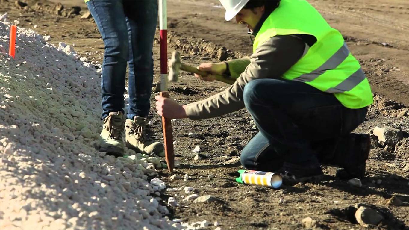
Setting Out (Grids, Datums, Piles, etc)
Following a survey of your site, and once your scheme has been designed and positioned within the survey, we are able to accurately set out your buildings, kerb lines, drainage etc using modern electronic surveying instruments.
If you would like more detailed information or you want to arrange an appointment to discuss your requirements, please contact us.


Movement & deformation monitoring
Using Modern electronic measurement instruments, structures and buildings can be monitored to record even the slightest of movement caused by excavation, tunnelling etc. Continuous monitoring can achieve accuracies or +/- 1mm.
If you would like more detailed information or you want to arrange an appointment to discuss your requirements, please contact us.
Utility services surveys
We can undertake an utility services survey to suit your requirements. This can be limited to the use of visual inspection and Cat and Genny for simple sites, or a more complete survey by the combined methods of electromagnetic, GPR and visual inspection.
If you would like more detailed information or you want to arrange an appointment to discuss your requirements, please contact us.
Measured building surveys
Reed Geomatics Ltd carries out Measured Building Surveys for clients through out the country. These would normally consist of floor plans, elevations and sections and are normally produced at 1:50 or 1:100 scale. We have experience working in both the Commercial and Residential areas. The latest Lecia Total Stations are used along with traditional disto and tape methods of measurement to undertake the surveys. When requested surveys can be undertaken using 3D scanning equipment. Please visit our Pages 3D Laser scanning and 3D CAD Modelling & Visualisations for more information. Our surveys can be tailored to your particular specification. All works are undertaken in accordance with the Royal Institution of Chartered Surveyors publication Measured Surveys of Land, Buildings and Utilities - 3rd Edition” will be used.
If you would like more detailed information or you want to arrange an appointment to discuss your requirements, please contact us.


Drone surveys
Together with our partner drone survey specialist we are able to produce GPS controlled digital information from drone technology on projects e.g. photography, video, progress monitoring, asset inspection, surveying, 3D point cloud, 3D textured model, volume measurements, DSM/DTM etc.
If you would like more detailed information or you want to arrange an appointment to discuss your requirements, please contact us.
International
Reed Geomatics Ltd has carried out short term topographical and measured building survey projects of up to 1 month duration in many overseas countries: including the USA, Nigeria, Ghana, France and Spain. We are experienced in travelling with our own kit to carry out surveys for British based clients with overseas property and land.
If you would like more detailed information or you want to arrange an appointment to discuss your requirements, please contact us.
Utility record search / desk top study
We can undertake a search of local utility company records in order to obtain details of underground services, which may be present.
If you would like more detailed information or you want to arrange an appointment to discuss your requirements, please contact us.